Council adopts Flood Intelligence Strategy
Published on 30 October 2025
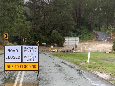
Scenic Rim Regional Council has adopted a new Flood Intelligence Strategy to enhance community safety, improve flood preparedness and guide long-term investment in flood data, infrastructure and planning across the region.
Transport and Infrastructure Portfolio Councillor Duncan McInnes said the strategy was developed with support from the Australian and Queensland Governments’ Flood Risk Management Program and provides a practical, data-driven framework to better understand and manage flood risk.
"The better we understand flooding in our region, the better we can prepare for and respond to it,” Cr McInnes said.
"This strategy guides investment so we have the right data, tools and partnerships in place to make informed decisions before, during and after flood events.”
Developed in collaboration with specialist consultants WMAwater, the strategy incorporates extensive consultation with the Local Disaster Management Group (LDMG), as well as Council's partners in emergency management and infrastructure.
The strategy, adopted at today's Ordinary Meeting, identifies six priority catchments - Logan, Albert, Bremer, Warrill, Coomera and Teviot - and focuses on collecting, analysing and providing flood information to guide emergency management of Council and the broader community.
The strategy also defines four guiding principles to assess future flood intelligence initiatives, focused on delivering:
- improved flood resilience across the community
- collection and maintenance of high-quality flood data
- fit-for-purpose information to meet statutory and operational needs, and
- great value for investment.
Cr McInnes said the strategy represents a major step forward in integrating technology, planning and community engagement.
“Floods are part of life in the Scenic Rim, but every event teaches us how to be better prepared for the future,” he said.
“This strategy turns those lessons into action, strengthening our flood modelling, improving early warning systems, and building community readiness for whatever nature brings.”
Assistance for this project was provided through the jointly funded Commonwealth-State Disaster Recovery Funding Arrangements (DRFA).