Council approves 54 residential lots and new park at Aratula
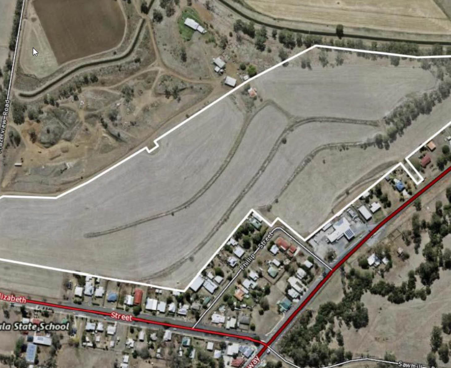
The approved subdivision is the first stage of a proposed two stage development totalling 126 lots. The second stage will require a future subdivision application.
The residential lots range in size from 800m2 to 2,548m2 and the park area is 1.060ha which includes areas for stormwater management.
All 54 proposed residential lots will be connected to urban infrastructure networks including reticulated water supply, stormwater drainage and sewerage networks, and electrical and telecommunications supply infrastructure.
The development will involve the creation of three new roads, with vehicle access to the site being obtained via Phillip Street.
Mayor Greg Christensen said Council was keen to support the economic prosperity of the region and this would be a big boost for the economic growth of Aratula.
"Our focus is on the right development in the right locations that are sustainable for the long term,” he said.
“This is a very exciting development for Aratula and enables more people to live in the Scenic Rim which offers a relaxed and affordable lifestyle.”
The subdivision site is in the Low Density Residential Zone and consistent with the relevant codes of the Scenic Rim Planning Scheme 2020.